
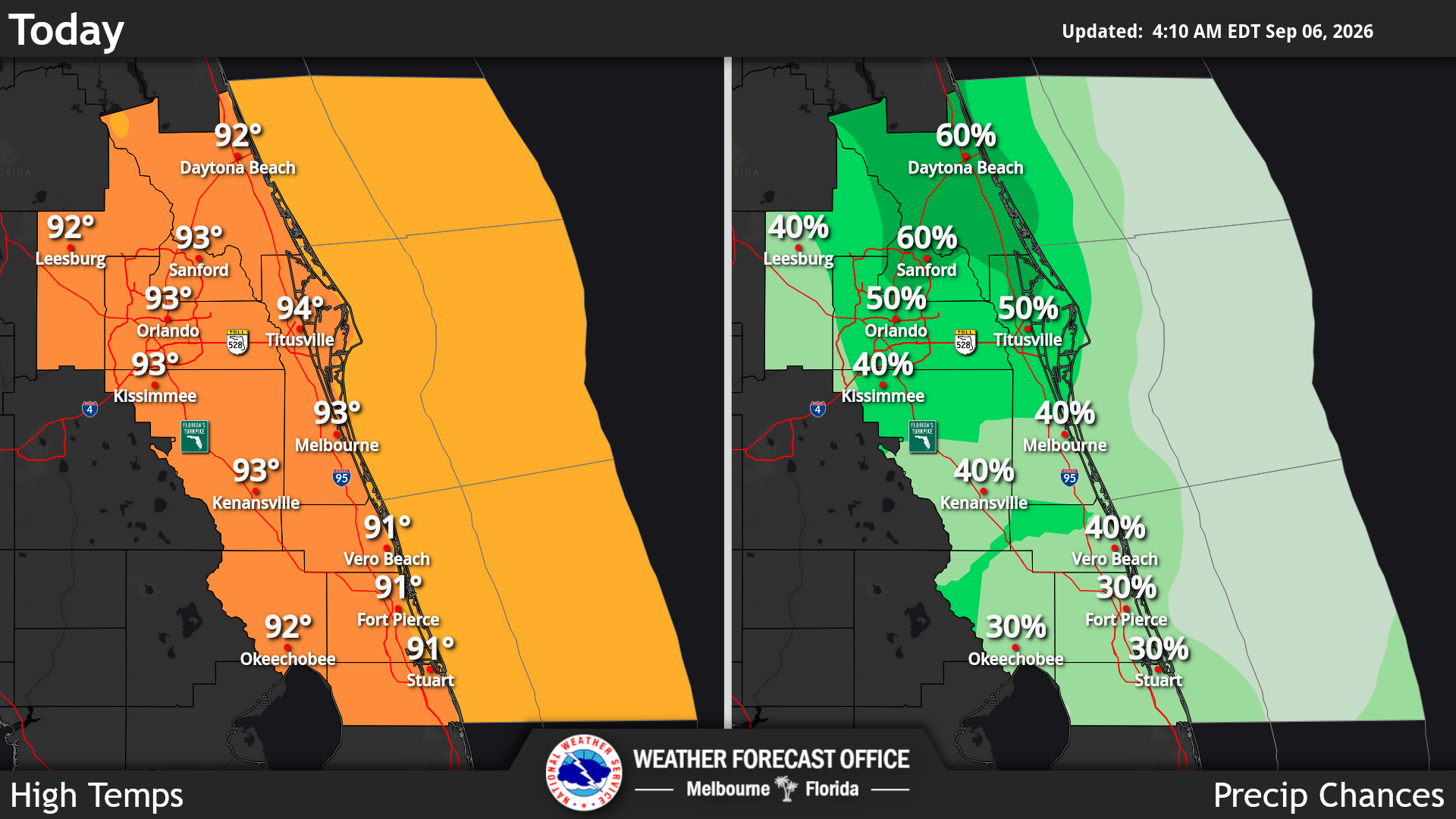
Potential heavy rainfall Sunday in Central Florida could lead to minor flooding, which continues to be the main storm hazard, while muggy conditions and seasonably hot temperatures persist, according to the National Weather Service in Melbourne.
Read more Democrat David Jolly promotes tourist tax reform as he runs for governor
NWS reported that primary storm impacts include frequent lightning strikes, gusty winds locally from 35-50 mph and torrential downpours capable of 2 to 4 inches, promoting minor flooding from slow-moving storms.
Maximum temperatures are expected in the upper 80s and lower 90s with peak heat indices reaching 100-107 degrees ahead of daily storms, but below heat advisory criteria. For Monday, warm and humid conditions will hit in the early morning with temperatures and dewpoints well into the 70s.
Read more With tour canceled, Ginger Minj surprises at Orlando Out Fest
A wet pattern is anticipated through early to middle next week as the east-west oriented trough in the mid-levels across Central Florida lingers across the area through Wednesday. NWS reported a moderate risk of rip currents at all area beaches, urging beachgoers to always swim near a lifeguard and never swim alone.
Read more Game time: FSU Seminoles vs. No. 19 SMU Mustangs — TV, betting odds, keys