
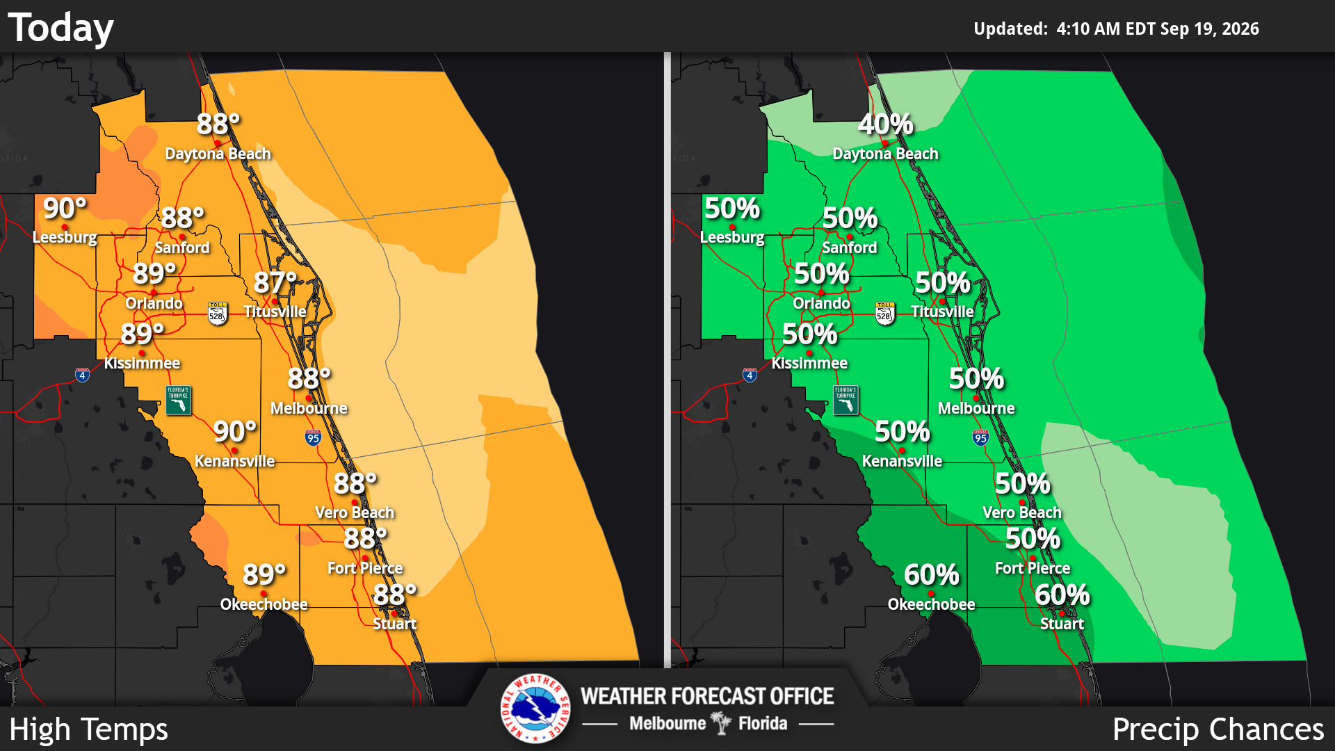
Central Florida will see more widespread showers and thunderstorms this weekend and into next week as a disturbance moves across the region and brings additional moisture, according to the National Weather Service in Melbourne.
Read more FHP intervenes after reports of emu walking on Central Florida highway
Rain chances are around 50% today, increasing to 60–70% Sunday.
A few storms could become strong each afternoon and early evening. The primary threats will be frequent lightning, wind gusts up to 50 mph, and locally heavy rainfall of 1–3 inches, which could cause quick ponding or localized flooding.
Temperatures will remain near seasonal levels, with afternoon highs generally in the upper 80s to low 90s and overnight lows in the 70s. Humidity will remain high, making conditions feel warmer than the actual temperature.
Read more See how empty your Orange County elementary school is
The unsettled pattern is expected to continue into next week, with 60–80% rain and storm chances Monday through Wednesday. A frontal boundary may reach Central Florida on Thursday before stalling farther south, potentially lowering rain chances toward 50% late in the week. Heat indices could again climb above 100 degrees in some locations.
Read more Tropical Depression 6 forms in distant Atlantic, NHC says