
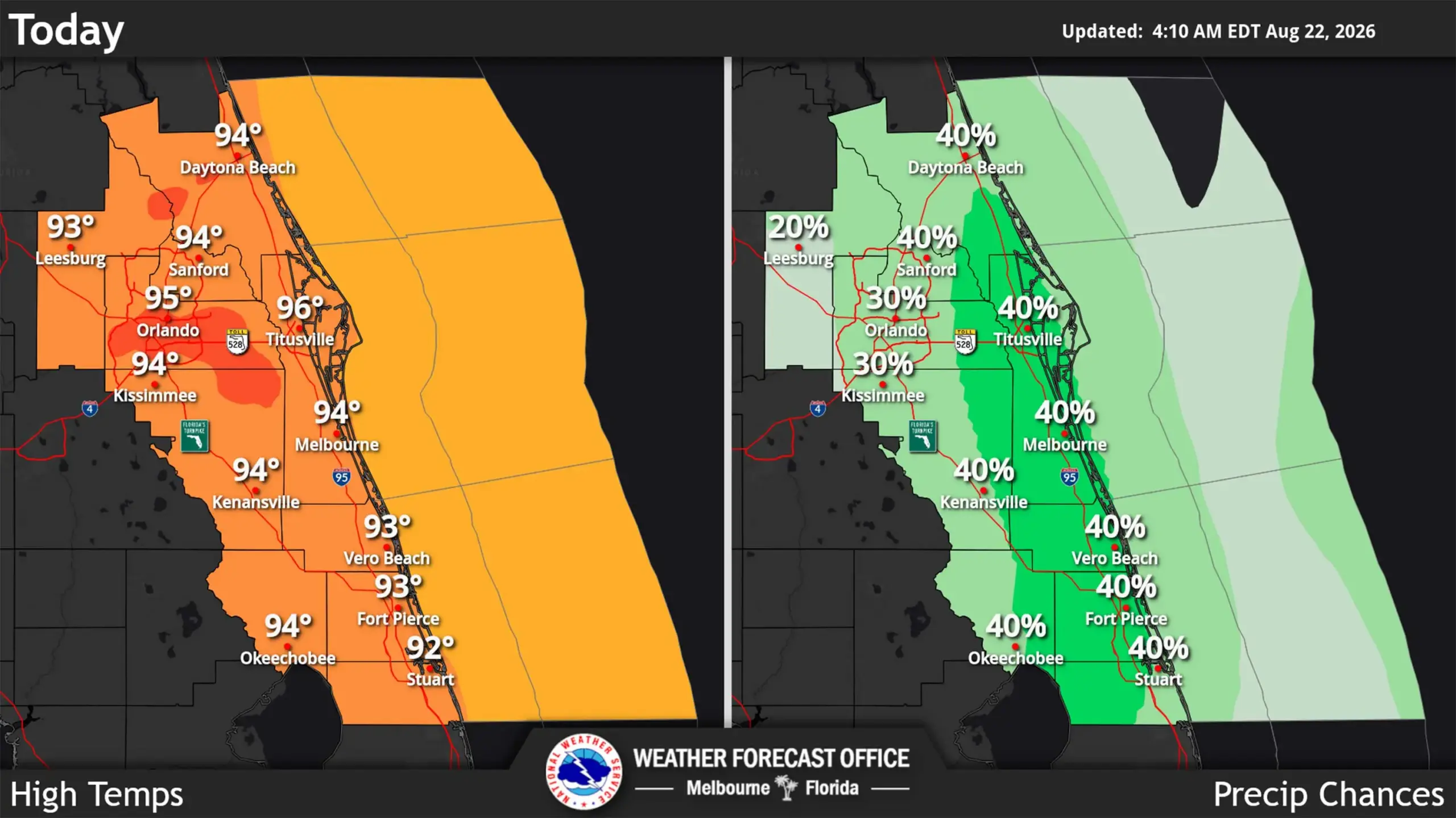
Central Florida is in store for highs in the mid 90s, but heat indices that could climb above 100 degrees with a moderate storm chance, according to the National Weather Service in Melbourne.
Read more Luigi Mangione’s double jeopardy gambit could see him freed from prison before he turns 60
“Adequate hydration and breaks in the shade or an air conditioned building will be important for those spending extended periods of time outdoors and as always, children and pets should never be left alone in vehicles for any period of time,” forecasters said.
Heat indices could hit between 102-107 degrees Fahrenheit, but that remains below advisory level. Overnight lows are expected to be in the mid 70s.
The Saharan dust layer is helping to diminish some rain chances, especially inland, but for those areas that do get thunderstorms, they could be severe.
Read more Pictures: UCF football 2026 season kickoff luncheon
“The main hazards for today with convective development will include frequent lightning strikes, wind gusts up to 55 mph (with a low chance for severe wind gusts) small hail, and heavy downpours with rainfall accumulations of 1-3 inches possible,” forecasters said.
The NWS noted that afternoon showers are still possible throughout the weekend and into next week.
Read more Hurricane center tracks 3 systems that could develop